FlyPix AI
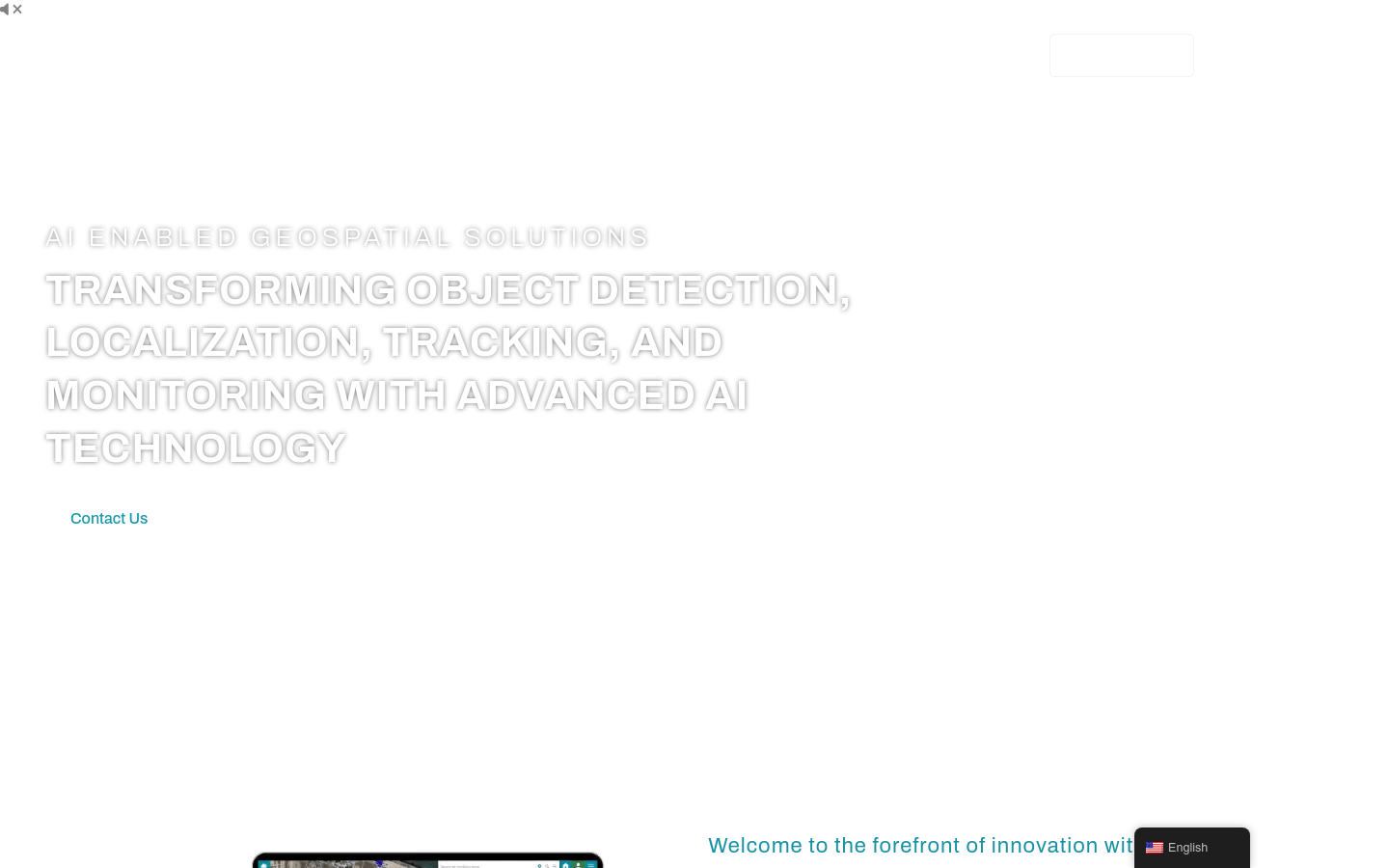
AI driven geospatial analysis solution
- AI supported object detection and localization: using AI model libraries or custom models to detect, segment, and locate objects and regions.
- Detailed object analysis: Gain a deep understanding of object properties such as type, area, size, etc.
- Change and anomaly detection: Monitor changes in the area over time and quickly identify anomalous patterns in aerial imaging.
- Dynamic tracking: using advanced AI algorithms to track changes in object properties or positions.
- Custom use cases: Tailored solutions to meet the unique needs of specific industries.
- User friendly interface: Provides a first-class user experience, making visualization and reporting of geospatial data easy.
Product Details
FlyPix AI is an innovative geospatial technology platform that utilizes advanced AI technology to transform complex images into actionable, georeferenced insights. Whether tracking environmental changes or optimizing urban planning, FlyPix AI's AI driven approach can provide unparalleled accuracy and efficiency. This platform supports object detection, localization, tracking, and monitoring, suitable for multiple industries including government, construction, renewable energy, agriculture, risk management, oil and gas, forestry, smart cities, port operations, and mining.


